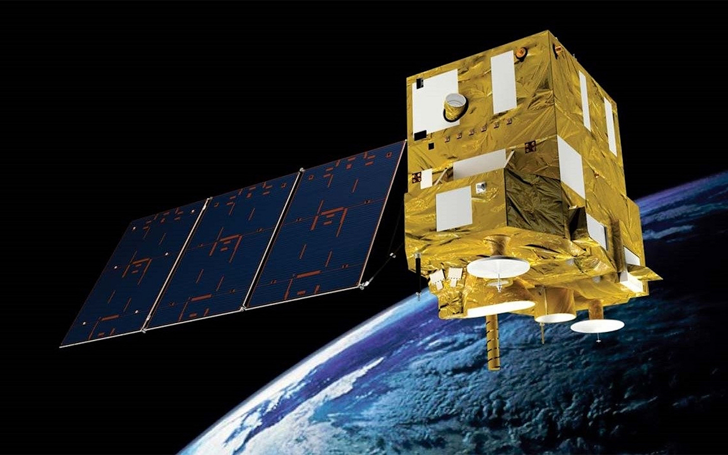
Brazilian Gov Approves Latest Joint Satellite With China
New CBERS spacecraft will improve environmental monitoring in South America.

Brazil’s government, on June 10th, enacted the legal protocols for the sixth1 China-Brazil Earth Resources Satellite, commonly shortened to CBERS, formally authorizing joint development. Prior legal documents were signed over the last two years.
The Chinese-Brazilian satellite, known as CBERS-6, will use Brazil’s Multi Mission Platform to support necessary spacecraft systems, which will see it weigh approximately 800 kilograms in total. The instruments set to be onboard CBERS-6 will include an X-band synthetic aperture radar, provided by the Chinese side, with an imaging resolution as low as 1 meter, which will enable all-day, any-weather, any-condition imaging of the Earth's surface. That synthetic aperture radar will be utilized for the first time in the CBERS project.
Work on the satellite is set to be conducted by the China Academy of Space Technology (中国空间技术研究院) and Brazil’s Instituto Nacional de Pesquisas Espaciais (National Institute for Space Research). A preliminary design review for the spacecraft was completed by both sides in mid-2024, and in December of the same year, Brazil approved the beginning of satellite production.
Following satellite development, it is expected that CBERS-6 will head to orbit on a Long March 2C or 2D from the Taiyuan Satellite Launch Center for a 2028 launch to a sun-synchronous orbit.
Once in orbit, the spacecraft will complement data collected from the five other CBERS satellites. Data collected by CBERS-6 is planned to be used for planning, monitoring, and control of deforestation, border surveillance, urban planning, water resources and vegetation monitoring, coastal surveillance, and agricultural support.
The overall cost, from development to launch, for both sides of the CBERS-6 project is expected to be 316 million Brazilian Reals (around 408 million Chinese Yuan or 57 million United States Dollars, as of June 12th).
Meanwhile, the two sides are also working on the CBERS-5 satellite, the seventh for the project, for launch around 2030. Rather than remaining a few hundred kilometers above Earth, CBERS-5 will be sent to geostationary orbit to remain above Brazil to provide continuous monitoring of meteorological and environmental conditions. Development of the satellite was agreed upon in June 2024.
As touched on earlier, Brazil and China have already launched a handful of CBERS satellites, stemming from an agreement between the two sides signed in 1988, then renewed in 1994 and 2004. From 1999, five satellites have been launched, with one lost during a launch failure.
CBERS-1, CBERS-2, and CBERS-2B were launched between 1999 and 2007, while being capable of imaging the Earth via a Wide Field Imager, a High Resolution Charge-coupled device Camera, an Infrared Multispectral Scanner, and a High-Resolution Panchromatic Camera. The three satellites have since been retired from service.
CBERS-3, CBERS-4, and CBERS-4A followed between 2013 and 2019, boasting improved imaging systems as well as geometrical and radiometric performance. CBERS-3 did not reach orbit due to a failure with the Long March 4B, resulting in an acceleration in CBERS-4’s development and launch campaign.
Both CBERS-4 and CBERS-4A remain operational in orbit, sending back images to Earth for the Chinese-Brazilian teams. Data from the two satellites has also been shared with other countries following disasters, reportedly free of charge.
Alternatively, the seventh if the CBERS-3 satellite is counted. Official documents from Brazil and China do not count CBERS-3.


