

Why Are More of China’s Satellites Equipped With AI Systems?
Many remote sensing satellites launched in recent months are opting for data to be pre-processed in orbit using specialized models.

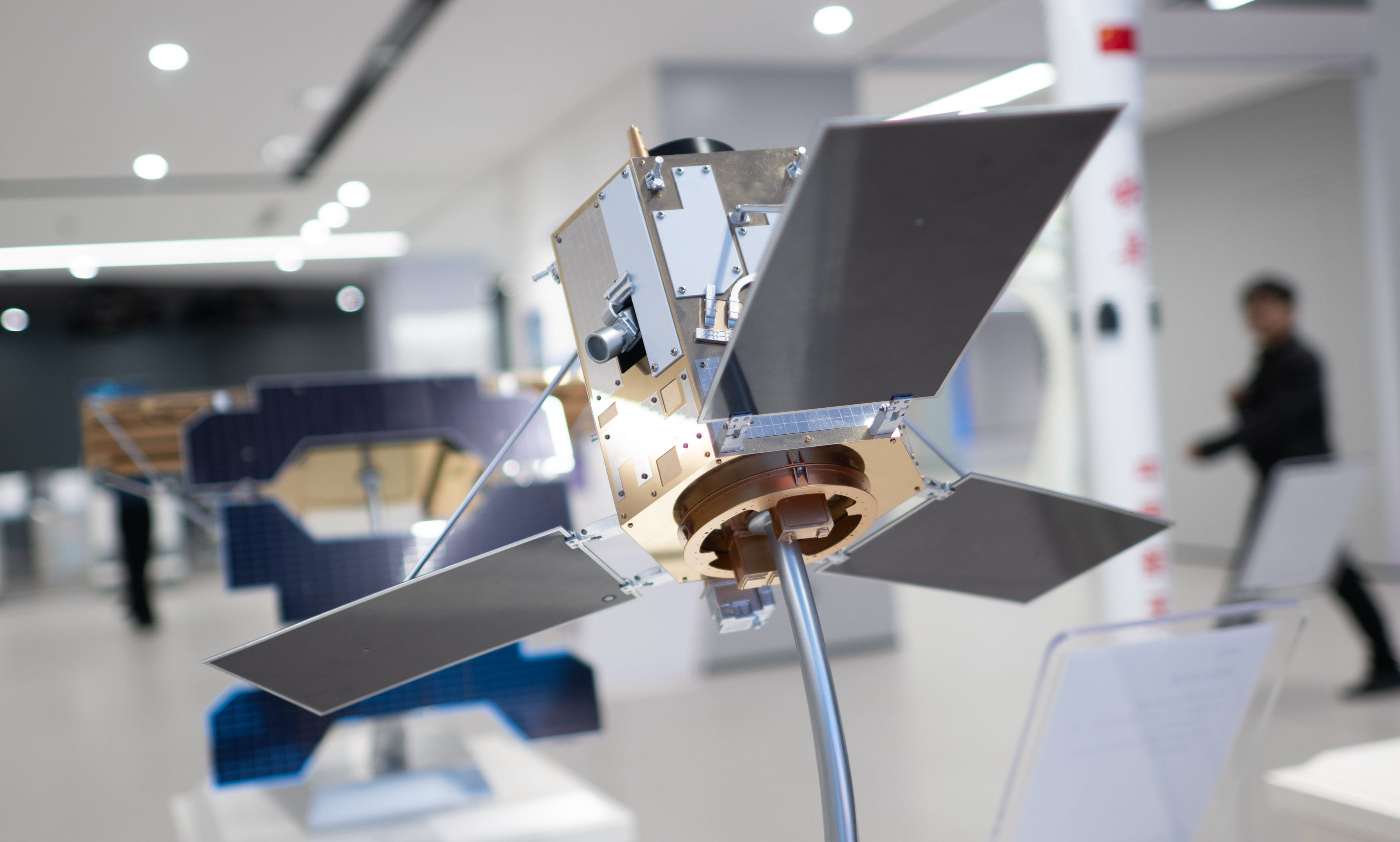
With the exception of the Europeans, putting significant amounts of artificial intelligence (AI) compute into orbit has become a hot topic in the global space economy. So far, Chinese enterprises have taken an early lead, with efforts like the Three-Body Computing Constellation alongside seriously backed plans from commercial and state-owned firms.
While most of the effort to run AI in space has been focused on constellations, in the background an increasing number of small satellites running AI systems locally have been deployed. To name a few launched recently:
Weitong-1-01 (微瞳一号01星), a ‘nano’ Earth observation satellite.
Xiguang-2-01 (西光贰号01星), a hyperspectral remote sensing spacecraft.
Gande-1-01 (甘德一号01星), a space debris monitoring satellite.
A batch of Jilin-1 (吉林一号) Earth imaging spacecraft.
And the hyperspectral remote sensing twins Lampung-1 and Samarqand-2028 sold to international users.
Their use of AI is the result of work across the nation’s space sector to solve an increasingly common issue. That issue being the ever-larger amounts of data collected by hundreds of low Earth orbit small satellites that spend short periods in view of China-based ground stations.
Traditionally, remote sensing and observation satellites spend their time in orbit collecting vast amounts of data and beaming it back when able. As satellite capabilities have progressed, the amount of data to be beamed back increases and eventually becomes too much to send down for processing on Earth1.
A 2019 paper by space systems experts at Wuhan University (武汉大学) and Dongfang Satellite (航天东方红卫星有限公司), under the China Academy of Space Technology, discussed solutions to the problem. The paper concluded that ‘intelligent’ satellite data processing systems should be developed, being early into research at the time, alongside innovation in space-to-ground communication systems. By 2023, the two entities behind the paper had the Luojia-3-01 (海丝三号01星) intelligent remote sensing satellite actively trialing and proving pre-processing of collected images into just useful data.
In the time since, newer satellites have incorporated what was learned by Luojia-3-01 and partnered it with AI models, thanks to that satellite having an overview of its systems published and the affordability of Chinese models financially and hardware-wise. Those newer satellites automatically ‘skip’ images of unwanted areas and unusable ones by searching for items or characteristics relevant to their task.
For example, if a satellite is monitoring the Great Green Wall’s2 growth, images of urban centers or those with heavy cloud cover are ‘useless’ for its task, and therefore ‘removed’ unless scripted otherwise. With only ‘useful’ data kept onboard, all of it is then beamed back to Earth on the satellite’s next ground station pass, often not long after imaging.
A similar process is in use for non-Earth observing satellites like Gande-1-01, where imagery is collected after an object not in the catalogued celestial sky3, either human-made items or asteroids, passes into view. Gande-1-01 is one of those satellites using AI models for that, with it able to pick up the Falcon 9 second-stage that slammed into the Moon on August 5th days before the impact.
Despite the usefulness of satellite-run AI, there are still limitations on what those systems can do. In February 2025, remote sensing academics noted that deployed AI models, which are loaded ahead of launch, are primarily limited to image interpretation to accelerate filtering of collected images. Models in use on orbit are, however, early generations that will be improved upon once more powerful space-grade chips and better thermal management systems are available and reasonably affordable.
That is unless imaging is halted, which is lost revenue for Earth observation firms.
Officially known as the Three-North Shelter Forest Program (三北防护林). It is an effort to limit the expansion of the Gobi Desert.
A map of it is stored onboard, with the model able to reference it.